Файл:Oceania (orthographic projection).svg

Size of this PNG preview of this SVG file: 541 × 541 pixels. нэгъуэщӀ разрешенэхэр: 240 × 240 pixels | 480 × 480 pixels | 768 × 768 pixels | 1,024 × 1,024 pixels | 2,048 × 2,048 pixels.
Файлым и къежьапӀэр (SVG файл, номиналу 541 × 541 пиксел, файлым и инагъыр: 63 KB)
КӀэщӀу зытеухуар
| Зытеухуар |
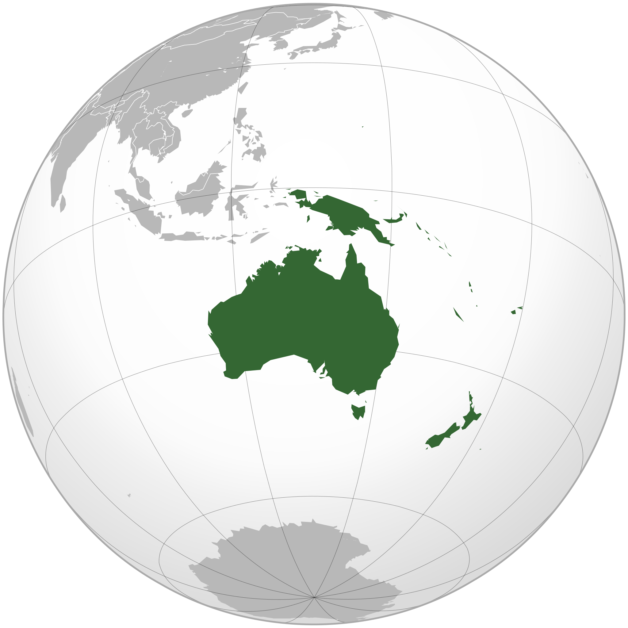
English: Orthographic map of Oceania. |
| Махуэр | |
| КъежьапӀэр | Own work based on: Australia (orthographic projection).svg |
| Лэжьыгъэр зи Ӏэдакъэ щӀэкӀар | Ch1902 |
| SVG genesis | SVG watermarked with invisible embedded text. |
.svg)
Лэжьыгьэ бгъэзэщӀэну хуит узыщӀ тхылъ
I, the copyright holder of this work, hereby publish it under the following licenses:
Мы файлыр лицензиекӀэ уогъуэт Creative Commons Attribution-Share Alike 3.0 Unported
- Ухуитщ пщӀыну:
- дэгуэшын – Мы лэжьыгъэр тещӀыкӀын, хэӀущІыІу щӀын, зыӀэпыхын
- зэхъуэкӀыжын/зэгъэпэщыжын – лэжьыгъэр щӀэрыщӀэу щӀыжын
- Мы Ӏуэхугъуэхэр бгъэзащӀэмэ:
- атрибуцэ – ТхакӀуэм и цӀэр,лицензиер, тхакӀуэм зэхъуэкӀыныгъэ хилъхьахэр къэбгъэлъэгъуэн хуейщ. Ар сыт хуэдэ къызэрыгуэкӀ Ӏуэхугъуэк1и пщ1ы хъунущ, ауэ лицениер зейм уэ удэщӀу е уэ укъигъэсэбэпу фэ къытеуэн хуейкъым.
- А Ӏуэхугъуэ дыдэхэмкІэ зегъэубгъуныгъэ – Фэ зэфхъуэкӀымэ, зэвгъэзахуэмэ е мыр и лабжьэу нэгъуэщӀ лэжьыгъэ гуэр буухуэмэ оригиналым и лицензиер къэбгъэсэбэбын хуейщ Ӏэмал имыӀэу е е оригиналым езэгъ лицензие.

|
Разрешается копировать, распространять и/или изменять этот документ в соответствии с условиями GNU Free Documentation License версии 1.2 или более поздней, опубликованной Фондом свободного программного обеспечения, без неизменяемых разделов, без текстов, помещаемых на первой и последней обложке. Копия лицензии включена в раздел, озаглавленный GNU Free Documentation License. |
Узыхуей лицензиер къыхэпх хъунущ
Файлым и тхыдэ
Махуэ/зэманым тепӀытӀэ файлыр дапщэщ сыт хуэдэу щытами уеплъынумэ
.svg&dir=prev)
.svg&offset=20221204003112)
.svg&offset=&limit=20)
.svg&offset=&limit=50)
.svg&offset=&limit=100)
.svg&offset=&limit=250)
.svg&offset=&limit=500)
| Махуэ/Зэман | КӀэщӀу | инагъыр | ЦӀыху хэтыр | Гу зылъытапхъэ | |
|---|---|---|---|---|---|
| иджы екӀуэкӀыр | 21:54, 6 Мазае 2023 | | 541 × 541 (63 KB) | Golden Mage | A change to the map of Asia will first face debate from others. Hence, a change to the commonly accepted map of Oceania cannot be made without a wider consensus. |
| 09:33, 6 Мазае 2023 |  | 541 × 541 (108 KB) | Kwamikagami | rv: then perhaps we need to change the Asia map to match. This is as defined in WP. | |
| 21:19, 5 Мазае 2023 |  | 541 × 541 (63 KB) | Golden Mage | Reverted to the map that displays the more accepted definition of Oceania's boundaries. Widely accepted geopolitical definitions take precedence over mere geographical ones. The map of the Wikipedia page for Asia already includes the Maluku Islands. | |
| 08:01, 5 Мазае 2023 |  | 541 × 541 (108 KB) | Treetoes023 | Reverted to version as of 06:27, 24 December 2022 (UTC) | |
| 08:00, 5 Мазае 2023 |  | 541 × 541 (63 KB) | Treetoes023 | Reverted to version as of 13:25, 31 December 2022 (UTC) | |
| 07:55, 5 Мазае 2023 |  | 541 × 541 (108 KB) | Treetoes023 | Reverted to version as of 00:31, 4 December 2022 (UTC) | |
| 16:25, 31 Дыгъэгъазэ 2022 |  | 541 × 541 (63 KB) | Golden Mage | Reverted to the map that displays the more accepted definition of Oceania's boundaries. Widely accepted geopolitical definitions take precedence over mere geographical ones. | |
| 09:27, 24 Дыгъэгъазэ 2022 |  | 541 × 541 (108 KB) | Kwamikagami | Reverted to version as of 00:31, 4 December 2022 (UTC) definition per WP-en | |
| 09:13, 22 Дыгъэгъазэ 2022 |  | 541 × 541 (63 KB) | Golden Mage | Reverted to the map that displays the more accepted definition of Oceania's boundaries. | |
| 03:31, 4 Дыгъэгъазэ 2022 |  | 541 × 541 (108 KB) | Kwamikagami | the Weber line divides Oceanic from Asian Wallacea |
Файлыр къэгъэсэбэпын
Мы напэкӀуэцӀыр 1 тохьэ мы файлым:
Куэд къызэщӀиубыдэфыу файлыр къэгъэсэбэпын
Мы файлыр мыпхуэдэ викихэм къыщагъэсэбэп:
- Къыщыгъэсэбэпын ab.wiki.x.io
- Къыщыгъэсэбэпын ady.wiki.x.io
- Къыщыгъэсэбэпын af.wiki.x.io
- Afrika
- Asië
- Europa
- Kiribati
- Noord-Amerika
- Suid-Amerika
- Vanuatu
- Guam
- Nieu-Seeland
- Sjabloon:Kontinente
- Australië
- Nauru
- Wellington, Nieu-Seeland
- Hoofstad
- Lys van hoofstede
- Sjabloon:Lande van Oseanië
- Honolulu
- Antarktika
- Gondwana
- Eurasië
- Laurasië
- Kategorie:Lande in Oseanië
- Lys van lande
- Fidji
- Canberra
- Hawaii
- Lys van nasionale leuses
- Clipperton
- Oseanië
- Norfolkeiland
- Amerikas
- Tonga
- Tuvalu
- Sjabloon:Hoofstede in Oseanië
- Palau
- Australië (kontinent)
- Afrika-Eurasië
- Samoa
- Marshalleilande
- Salomonseilande
- Papoea-Nieu-Guinee
- Gefedereerde State van Mikronesië
- Nukuʻalofa
- Port Moresby
- Apia
- Funafuti
- Honiara
- Majuro
Еплъын глэбальнэу къызэрагъэсэбэп мы файлыр.
.svg)
.svg)